Lush terrain along route to Emigrant Lake
By Kathryn Reed
KIRKWOOD – Sitting at Emigrant Lake looking up at the granite cliffs that form part of the Kirkwood Mountain Resort boundary it’s easy to understand why the words steep and rugged are synonymous with this ski area.
And this isn’t the super gnarly area of the Wood.
Fortunately, hiking to Emigrant Lake was tame compared to the surroundings.
One of the biggest surprises was discovering how pretty Caples Lake is. I had only seen it from the road and years ago I was on it for an ice fishing story. Several fisherpeople were on the dam, along the shoreline and in boats trying to catch dinner. Crawdads are what they said they were mostly reeling in.
The trail parallels the lake for a ways before it heads into the Mokelumne Wilderness Area.
Then this body of water appears again. It’s a beautiful arm of Caples that isn’t visible from the highway. Water marks on the boulders show the lake is down about 18 inches. The lake is a storage facility for El Dorado Irrigation District for water consumption as well as a hydroelectric plant.
Soon after the lake is behind us the trail begins to climb. It isn’t long before the steep grade levels out to a gradual climb. The hike has an elevation gain of 915 feet.

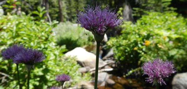
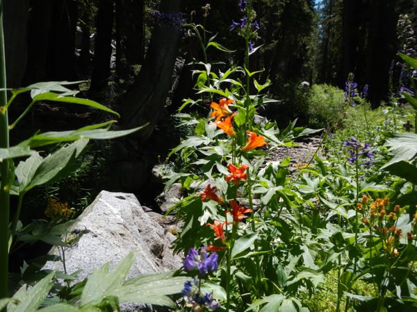
A variety of flowers are in bloom along Emigrant Creek and in a meadow that the trail wanders through.
Wildflowers – at least last weekend – were still very much in bloom, but clearly beyond their peak. Much of the trail is lush with green foliage.
It seems like with every step there is something for the eyes to feast upon – including a waterfall.
Much of the trail is shaded, which in the middle of a hot summer day was ideal.
Emigrant Creek comes and goes regularly along the trail, making this an ideal hike for dogs with all the lapable water.
An old marker points toward the Historic Emigrant Trail. This would have taken us close to Thimble Peak (9,805 feet), Covered Wagon Peak (9,565), Melissa Coray Peak (9,763) as well as to the chairlifts. We chose to go to the lake.
There is also a sign for a trail that leads to Kirkwood Meadow.
Most of the people we see on this Sunday are headed out with backpacks. It’s a popular destination for backpackers. Large, flat boulders near the lake make it an ideal lunch spot for day hikers.
Because the lake sits in a basin, it was a bit windy and cool. But as we got back on the trail to head out it wasn’t long before we shed the layer we had put on at the lake.
—–
Getting there:
From South Lake Tahoe, go west on Highway 50. Turn left onto Highway 89 in Meyers. At Pickett’s Junction, go right onto Highway 88 toward Kirkwood. Park at the first turnoff on the left after crossing the dam at Caples Lake. The trailhead is to the right of the dam and is well marked.


