Hwy. 89 closure a good thing for sightseers

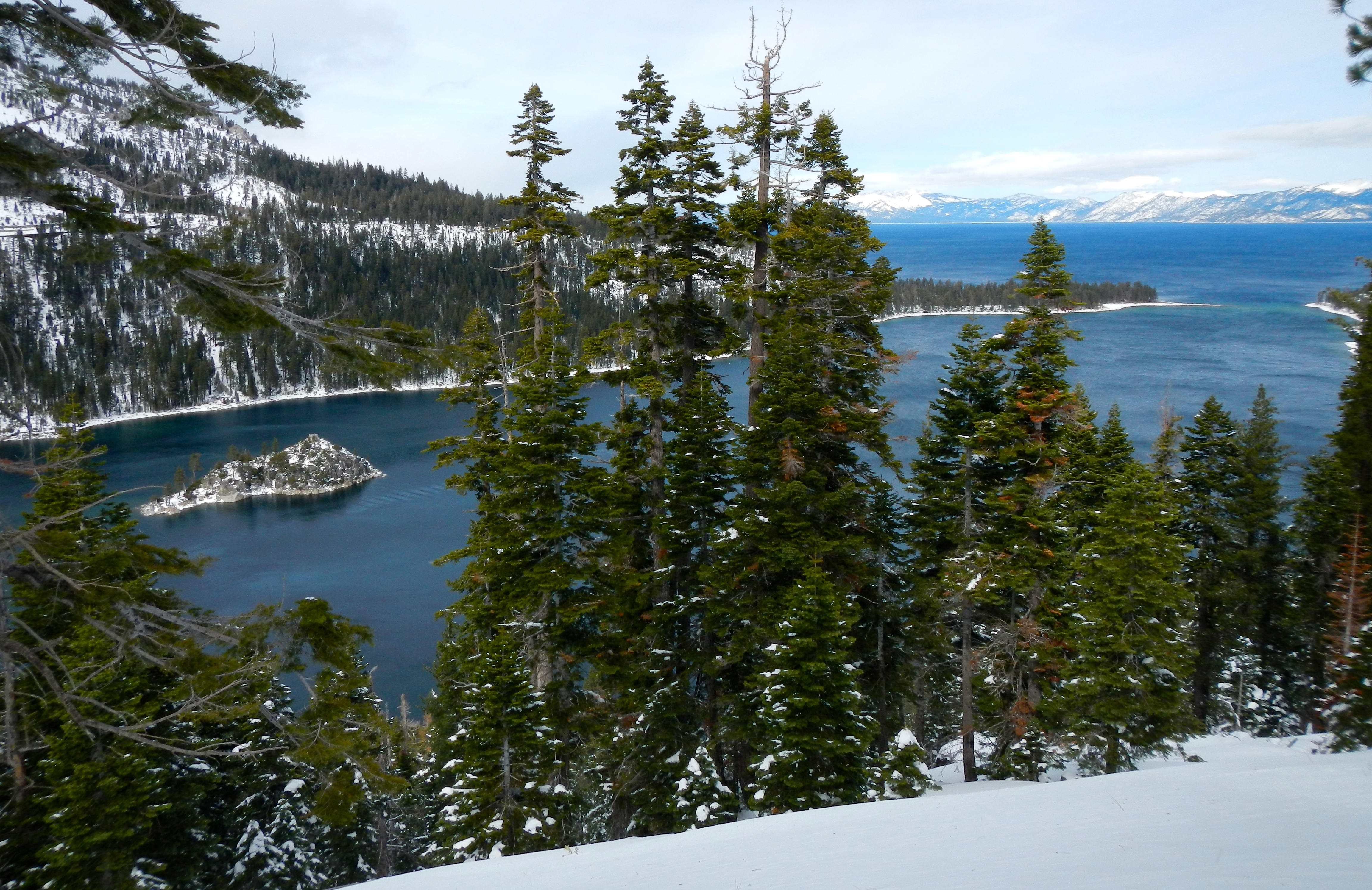
Emerald Bay appears even more dazzling when not whizzing by in a car. Photo/Kathryn Reed
By Kathryn Reed
For more than 100 years automobiles have been subjected to the whims of Mother Nature when it comes to being able to drive around Emerald Bay on Highway 89.
For the past few winters the closures have been minimal because the snow was close to nonexistent. This year, though, it seems like every storm brings multiple days of impassable roadway.
“I’m told from our maintenance supervisor and superintendent up there that this is actually quite normal for an active winter season like we’re having. They’ve both been working up there going on 30 years,” Steve Nelson, spokesman for Caltrans, told Lake Tahoe News.

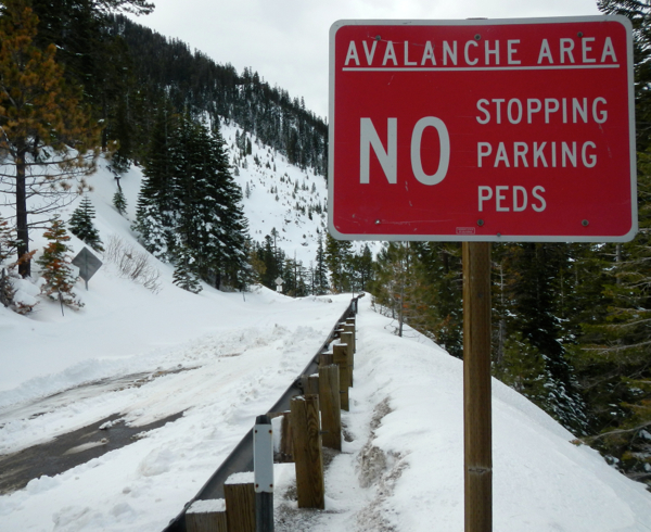
Snow on the afternoon of Feb. 19 covers Highway 89 north of Bayview Campground. Photo/Kathryn Reed
On Friday, most of the pavement from the gate at Emerald Bay Campground to the lookout at the Vista Point across from the Bayview Trailhead was clear of snow. But instead of vehicles on the road, a couple dozen people were out walking on it.
Being able to walk – or snowshoe and cross country ski – this stretch of highway is rare. That’s why when the opportunity presents itself it’s worth doing. It’s not a long trek, but is one with such incredible views.
Normally eyes are focused on driving that narrow stretch where the private Cascade Lake is on one side and Emerald Bay is on the other. On foot it’s even more impressive – both the natural beauty and the engineering feat to build the road.
Other than the two sanctioned bike rides around the lake and the marathon events, being on the road without a vehicle can be dangerous.

It’s rare to be able to safely walk on Highway 89. Photo/Kathryn Reed
A dirt road was first built in 1913 around Emerald Bay. It was a tourist attraction at the time for steamers to bring people into the bay to watch as dynamite blew up giant granite boulders that would fly more than 100 feet into the air. For decades the road was never opened in the winter.
This section of roadway is still dicey. No avalanche control is allowed in the area, unlike other stretches of state highways in and around the basin.
Landslides and avalanches are what keep the road closed. Clearing it of snow usually isn’t an issue.

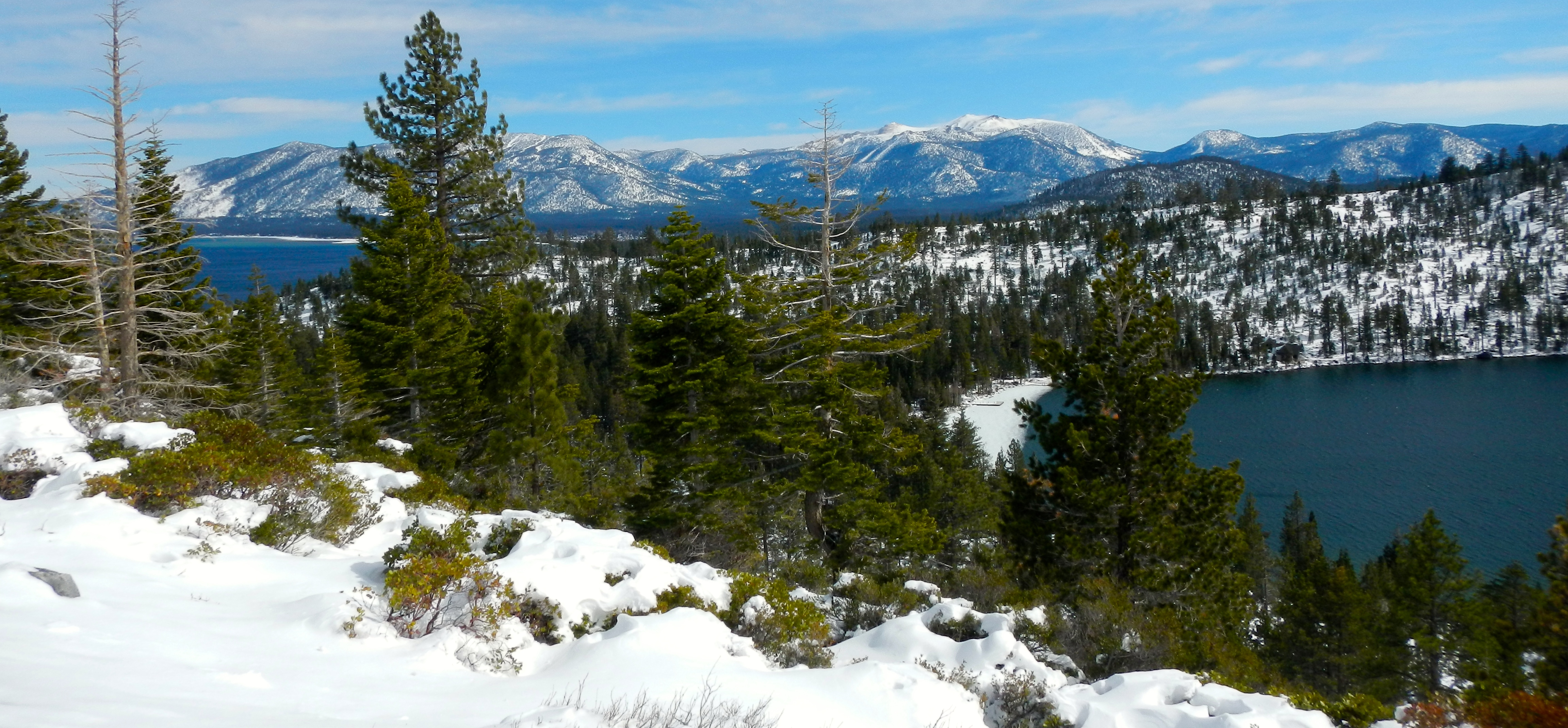
Cascade Lake in the foreground, with Lake Tahoe in the distance. Photo/Kathryn Reed
“There are as many as 15 active slide zones in that four-mile stretch of the highway and no way for us to control it like we do on Highway 50 due to the terrain, so for the safety of the traveling public, we have to close it until the snow has settled and we can go in and clear it all off,” Nelson said on Feb. 19.
Caltrans drivers in a grader and blower were working in tandem on Friday, with the hopes of being able to have the highway open today. To know for sure, click on the state icon on the home page of Lake Tahoe News.