Lake Tahoe spills forth from atop Cave Rock

Stunning views are the reward for getting to the top of Cave Rock. Photo/Dale Roberts
By Dale Roberts
CAVE ROCK – Whenever I have out of town guests I get a lot of enjoyment and take great pride as a host to show them the best that Tahoe has to offer. No visit to my home is complete until I have taken them to the best spot to admire the beauty of Lake Tahoe.
Cave Rock’s vista has always been somewhat under the radar for the best of Tahoe. As imposing as it is to drive through, most visitors and many residents are not aware of just how easy it is to summit.

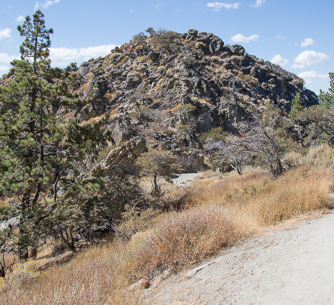
This is the final rough approach to the summit. Photo/Dale Roberts
I did not learn about it until about eight years ago, 35 years after moving to Tahoe. Since discovering the view from the top of Cave Rock it has become my perennial favorite. No other vista point around the lake offers a 270-degree unobstructed view of the Tahoe basin.

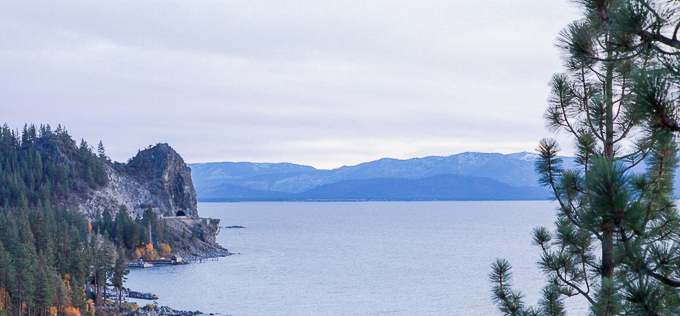
Cave Rock from the Logan Shoals vista. Photo/Dale Roberts
Quick, easy to get to, less than one mile round trip, with the majority of the trail being an old utility easement road with a gentle gradient. Only the last couple of hundred feet does it do a small climb, scrambling up a rock stairway to the summit.
From your car to the summit is approximately a 20-minute effort at a very relaxed pace. Perfect for that quick unique sunset vista.

Looking toward the North Shore from the top of Cave Rock. Photo/Dale Roberts
—–
Getting there:
From the South Shore go east on Highway 50. Just as you round the last bend before the boat launch and Cave Rock is in front of you, make a right turn up Cave Rock Drive. Follow it up until it makes a sharp right hand hairpin turn. Do not turn but proceed straight and you will see where the cul-de-sac has been paved over with four marked parking spots. Look just past the fire hydrant and you will see the trail.